Back to all stories
Market Analysis

Your flood zone label is wrong - and Risk Rating 2.0 is already repricing Tampa Bay homes because of it

Ryan Snyder

Ryan Snyder

Team Leader, Estate Vida Team

August 25, 20267 min read
Your flood zone label is wrong - and Risk Rating 2.0 is already repricing Tampa Bay homes because of it
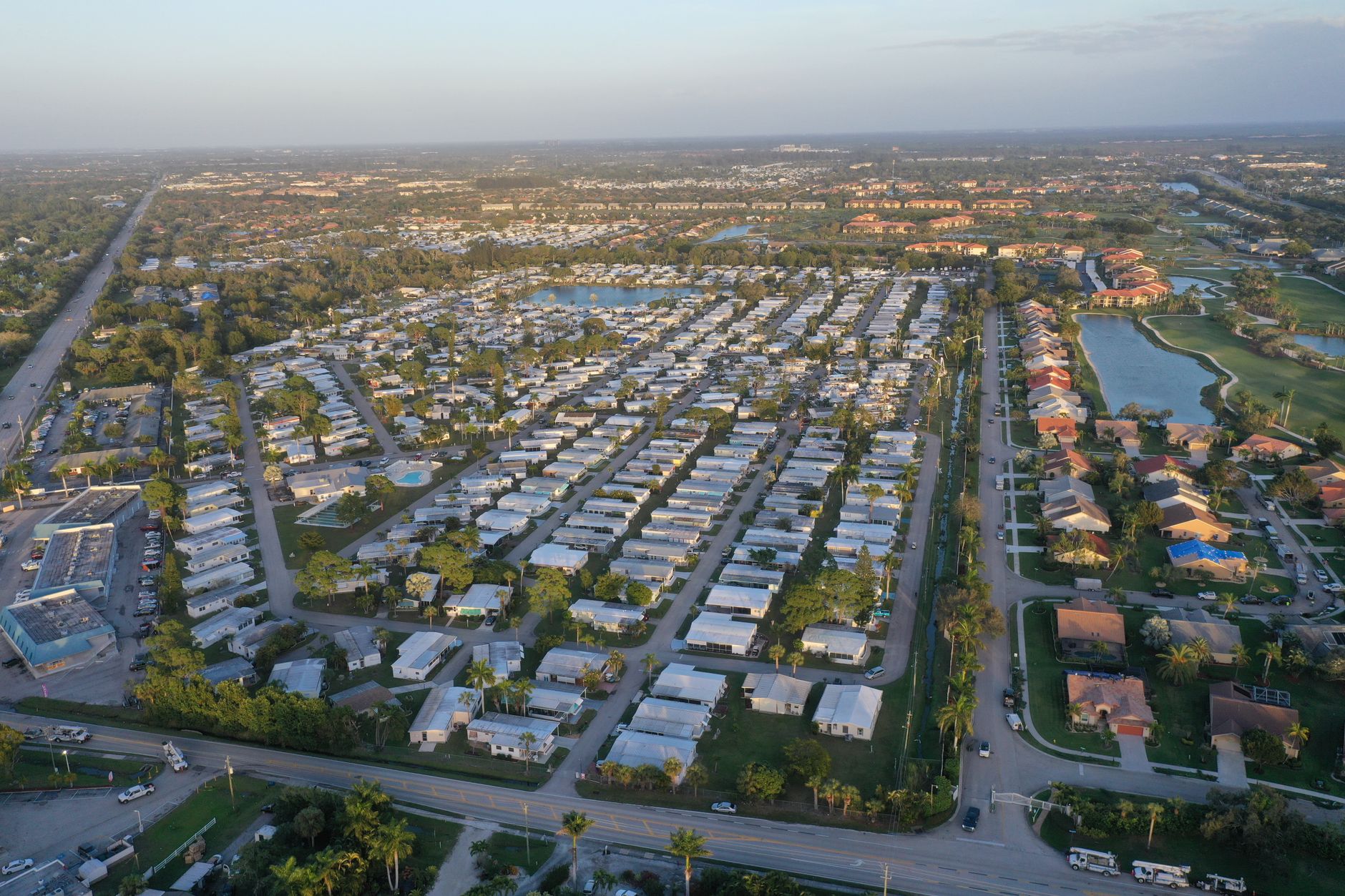
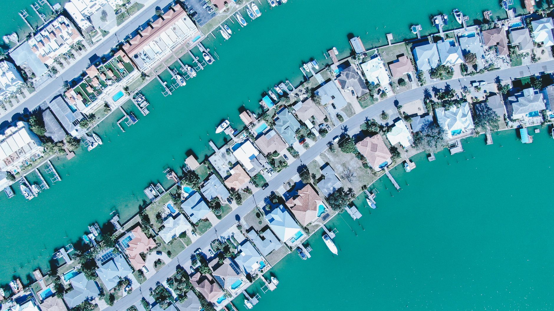
A waterfront street in Shore Acres or Coquina Key, St. Petersburg, showing modest single-family homes with bay or canal water visible in the background and a 'For Sale' sign in the foreground - illustrating the flood exposure hidden behind a standard MLS listing.

You've probably heard that flood insurance is expensive in Tampa Bay. That's not news. What almost nobody is talking about is that the rules governing how that insurance is priced changed permanently in 2021 - and the ripple effects are still being misread by buyers, sellers, and even some agents.

Most people in this market still shop by flood zone label. AE is bad. X is fine. That's the mental model. But FEMA's Risk Rating 2.0 doesn't work that way anymore. Two houses on the same street, in the same flood zone, can now carry flood premiums that differ by thousands of dollars per year. That difference is showing up in deals right now, and very few buyers catch it before they're under contract.

The zone letter is the starting point. Risk Rating 2.0 sets the actual payment. Those are not the same thing, and confusing them is costing Tampa Bay buyers real money.

What Risk Rating 2.0 actually changed

Before 2021, flood insurance pricing was a blunt instrument. FEMA looked at which zone your property sat in on a static Flood Insurance Rate Map, factored in your elevation, and issued a rate. Properties inside a zone were treated roughly the same. Properties outside a zone were treated as low-risk almost automatically.

In 2021, FEMA implemented Risk Rating 2.0 - the most significant technical overhaul of the National Flood Insurance Program in fifty years. It moved the program away from "is it in the zone?" to "what is the specific risk of this structure?"

Risk Rating 2.0 now looks at variables that previous maps ignored: proximity to the bay, a canal, or a river is measured in feet, not broad zones. The cost to rebuild the structure influences the risk calculation. FEMA uses satellite topography and individual property data to determine first-floor elevation. And foundation type matters - slab-on-grade homes are rated differently than those with crawlspaces or raised foundations.

The practical result: two houses sitting inside the same AE zone, one block apart, with identical purchase prices, can generate completely different insurance obligations. The zone tells you the neighborhood. Risk Rating 2.0 tells you the bill.

Estate Vida Tip

Before writing any offer in a flood zone - or even in Zone X near a canal - ask the seller for the existing flood policy declarations page and the property's elevation certificate if one exists. That's not paperwork. That's your first look at what this home will actually cost to own.

Why Tampa Bay is more exposed to this than almost anywhere else

Tampa Bay's geography makes Risk Rating 2.0 matter more here than in most U.S. markets. The bay is enormous, the coastline is irregular, and the distance from dry land to tidal influence can change dramatically over a few hundred feet. A home in South Tampa, Shore Acres, or along the Pinellas waterfront can have a meaningfully different risk profile than the house two lots over - not because of any planning difference, but because of how close each structure sits to a tidal source.

In the Tampa Bay area, covering Hillsborough, Pinellas, and Pasco, flood insurance in moderate-risk zones runs $700 to $1,800 annually - but high-risk coastal properties are seeing premiums of $2,500 to $10,000 or more. Tampa Bay's configuration creates significant storm surge risk.

Homes in Zone VE or Zone AE with a low first-floor elevation relative to the base flood elevation can see NFIP premiums in the range of $3,000 to $8,000 or more per year. A home in Zone X with a slab elevation well above any nearby flood risk might pay $500 to $900 annually for the same coverage amount through a private flood carrier.

That's potentially a $7,000 spread between two homes that look identical on the MLS. At today's prices, that difference in carrying cost changes whether a property pencils out for a buyer - and it's often invisible until the insurance quote comes back.

Estate Vida Tip

If you're buying in South Tampa, Shore Acres, Dunedin, Clearwater Beach, or any Pinellas waterfront neighborhood, get a flood insurance quote from both the NFIP and a private carrier before your inspection period closes. The spread between the two can be significant, and you want to make that decision - not have it made for you at the closing table.

The discount system nobody explains at open houses

Here's something most buyers in Tampa Bay have never been told: your municipality's flood management rating directly affects how much you pay through the NFIP. FEMA runs a program called the Community Rating System, and communities that actively manage flood risk earn discounts that pass directly to policyholders.

The City of Tampa holds a Class 5 CRS rating, which delivers a 25% discount in Special Flood Hazard Areas. St. Petersburg also holds a Class 5, with the same 25% SFHA discount. Clearwater achieved Class 5 as of October 1, 2024, which also delivers a 25% SFHA discount. Unincorporated Pinellas County holds a Class 2 - that's a 40% SFHA discount, the highest in Florida. Unincorporated Hillsborough County holds a Class 5 with a 25% SFHA discount.

Buying inside city limits versus in an unincorporated county area can change your annual flood premium by 15 percentage points before Risk Rating 2.0 even runs its calculations.

Buyers comparing two homes in Pinellas - one inside St. Petersburg city limits, one in unincorporated Pinellas - are comparing a 25% discount to a 40% discount. That gap is real, recurring, and almost never mentioned in the listing description.

Estate Vida Tip

When comparing homes across county and city lines in Pinellas, look up the CRS class for each jurisdiction before you compare insurance estimates. A home in unincorporated Pinellas with a Class 2 CRS rating can carry meaningfully lower flood premiums than a similar home inside any city with a Class 5 rating - all else equal.

The 18% cap that sellers are depending on - and buyers should be skeptical of

One of the most commonly misunderstood features of Risk Rating 2.0 is the annual increase cap. Existing NFIP policyholders can't see their premiums jump all at once. The increases phase in.

Risk Rating 2.0 uses distance to water, first-floor height, and replacement-cost value rather than broad zone tables. Increases for existing NFIP policies phase in under the federal 18% annual cap until the full risk rate is reached.

That cap is often presented as reassurance. It shouldn't be. What it actually means is that some Tampa Bay homes are locked in a multi-year march toward a much higher actuarial rate - one the current seller is paying only a fraction of. The premium you see today is not the premium you'll pay in five years. A home currently carrying a $2,200 annual flood policy could be tracking toward $4,500 to $6,000 under its true Risk Rating 2.0 rate. The seller pays the discounted version. You inherit the trajectory.
I've watched buyers compare purchase prices carefully and overlook this entirely. It's one of the more reliable ways to underprice the true cost of a coastal or near-coastal home in this market.

Estate Vida Tip

Ask for the seller's current NFIP declarations page and look at both the current premium and the policy's "full-risk rate" if it's disclosed. If those numbers diverge significantly, you're looking at a premium that will keep climbing annually. Factor the trajectory into your offer price, not just today's number.

What an elevation certificate actually does in 2026

Under the old FEMA system, an elevation certificate was primarily used to establish whether you were in a flood zone and by how much your first floor exceeded the base flood elevation. Under Risk Rating 2.0, its role shifted.

The elevation certificate is a technical document produced by a licensed surveyor. It measures the elevation of various parts of the building relative to the ground and the base flood elevation. Under Risk Rating 2.0, providing an elevation certificate can often refine the risk score of a property, especially if the structure was built to modern codes but the automated FEMA data is imprecise.

This matters because FEMA's automated data isn't always accurate at the parcel level. If your property sits higher than the automated model assumes, an elevation certificate can unlock a meaningfully lower rate. If the seller doesn't have one, you can order it. They typically run $500 to $900 in this market. An elevation certificate that saves $1,200 per year on flood insurance pays for itself in under nine months.

With FEMA's Risk Rating 2.0 now pricing policies by parcel-level risk rather than just zone, buyers should expect flood premiums to rise over the life of ownership in high-risk areas. A Letter of Map Amendment may help if the finished floor is clearly above the base flood elevation, but the process takes 60 to 90 days.

Estate Vida Tip

If a seller doesn't have an elevation certificate on file, request one as part of the transaction or commission one yourself during the inspection period. In Pinellas and coastal Hillsborough, this single document is often the difference between an accurate insurance quote and one that's off by $1,500 a year or more.

Where this is showing up in deals right now

The neighborhoods where Risk Rating 2.0 is quietly reshaping buyer decisions aren't just the obvious coastal postcards. Shore Acres in St. Petersburg, Coquina Key, portions of Seminole Heights near the river, Davis Islands, and even certain pockets of Westchase and Brandon near retention-pond corridors are all seeing parcel-level variance that the old zone-map approach would have missed entirely.

In Pinellas, waterfront buyers in Dunedin, Clearwater, and Gulfport are learning that two homes separated by a single block and priced within $30,000 of each other can carry annual flood insurance costs that differ by $2,000 or more. That's the Risk Rating 2.0 effect at the street level. And because most buyers don't get insurance quotes until after they're under contract, this surprise lands during the inspection period - right when it can either kill a deal or become unexpected negotiating leverage.

Rising homeowners' insurance premiums require buyers to carefully assess roof age and flood zones before making an offer. That's accurate - but incomplete. The flood zone is the start. The parcel-level Risk Rating 2.0 calculation is the finish line.

Estate Vida Tip

In Shore Acres, Davis Islands, Coquina Key, Dunedin waterfront, or any neighborhood with visible canal or bay adjacency, get the flood quote before you fall in love with the house. That quote changes your effective purchase price. It should inform your offer, not surprise you after it's accepted.

My read on this

Risk Rating 2.0 has been live for three-plus years. But the market still hasn't fully priced it in - and that's the opportunity and the risk sitting side by side.

For buyers, this is a moment where doing one extra step - getting a real flood quote before submitting an offer - creates genuine informational advantage. Most competing buyers aren't doing it. If the quote comes back high, you either renegotiate the price to reflect the true carrying cost, or you walk away from a home the market is still overpricing. Either outcome is better than finding out at closing.

For sellers in flood-exposed neighborhoods, I'd watch this carefully. As more buyers start running parcel-level quotes during the search phase rather than after contract, homes with unfavorable Risk Rating 2.0 profiles are going to sit longer and attract lower offers. The spread between a flood-smart listing and a flood-blind one is widening. Sellers who proactively pull their elevation certificate, disclose the current NFIP premium alongside the full-risk rate, and price the insurance trajectory honestly are going to transact faster than those who leave it to discovery.

The zone label tells you roughly where you are. Risk Rating 2.0 tells you what ownership actually costs. Tampa Bay is one of the most flood-exposed metro areas in the country. In this market, that distinction is no longer academic.

Questions I'm hearing

Is flood insurance required in Tampa Bay?

If you have a federally backed mortgage and your home sits in a FEMA Special Flood Hazard Area - typically Zone AE or Zone VE - your lender will require flood insurance. Homes in Zone X don't face that lender requirement, but private flood coverage is often still worth pricing out, especially near canals or low-lying areas.

How much does flood insurance cost in Tampa Bay in 2026?

Under Risk Rating 2.0, costs vary by parcel rather than just zone. Moderate-risk properties in Hillsborough and Pinellas generally see NFIP premiums in the $700 to $1,800 range annually, while high-risk coastal properties can exceed $10,000 per year. The only accurate number is a quote on your specific address - county averages are nearly meaningless now.

What is FEMA Risk Rating 2.0 and does it affect my Tampa home?

Risk Rating 2.0 is FEMA's updated pricing methodology for the National Flood Insurance Program, fully implemented as of 2023. Instead of relying primarily on flood zone maps, it prices policies based on a property's specific distance to water, first-floor elevation, foundation type, and replacement cost. If you own or are buying a home anywhere in coastal Tampa Bay, it almost certainly affects your flood insurance premium.

Curious what flood zone and Risk Rating 2.0 situation you're actually looking at on a specific home? I'll pull the map, check the CRS class, and tell you what questions to ask before you're under contract. No sales pitch - just local data you can actually use.

Related Stories